

Is this your AI tool? Claim it today.
Verify ownership, manage your profile, and unlock growth features.
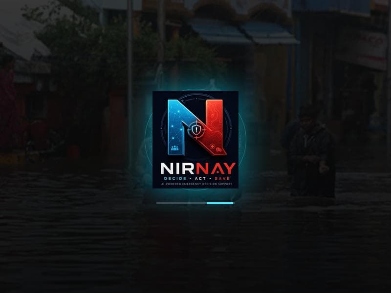
Nirnay is a powerful AI-driven emergency command system that enhances disaster response by combining real-time spatial intelligence with advanced decision-support capabilities. Designed for emergency teams and public safety organizations, it delivers critical insights and predictive analytics to improve situational awareness and optimize crisis management.

Description
Nirnay is an AI-powered emergency decision-support system that helps responders turn incomplete, conflicting and changing disaster information into clear, explainable actions. It combines live risk mapping, confidence scoring, emergency routing, what-if simulations and AI explanations while keeping humans in control.
Detailed Description
Nirnay is an advanced AI-powered emergency decision-support command system specifically engineered to enhance disaster response and spatial intelligence operations. Its core purpose is to assist emergency teams and command centers in making critical decisions swiftly and accurately during crisis situations. By integrating artificial intelligence with spatial data analytics, Nirnay provides a comprehensive situational awareness platform that empowers responders to coordinate efforts, allocate resources effectively, and mitigate the impact of emergencies such as natural disasters, industrial accidents, or large-scale public safety threats. At the heart of Nirnay's capabilities is its AI-driven decision-support engine, which analyzes real-time data streams from multiple sources including satellite imagery, sensor networks, and field reports. This allows the system to generate actionable insights and predictive models that forecast the progression of disasters and identify high-risk zones. The command system interface is designed to be intuitive and responsive, enabling emergency managers to visualize spatial intelligence overlays, monitor evolving scenarios, and execute command protocols with precision. Additionally, Nirnay supports dynamic resource management by recommending optimal deployment strategies for personnel, equipment, and relief supplies based on current and projected conditions. Nirnay is best suited for emergency response agencies, disaster management authorities, public safety organizations, and large enterprises with critical infrastructure requiring robust crisis management solutions. Specific use cases include coordinating wildfire containment efforts, managing flood response operations, orchestrating evacuation plans during hurricanes, and supporting urban search and rescue missions. Its spatial intelligence integration makes it invaluable for scenarios where geographic context and real-time environmental data are crucial for decision-making. Regarding pricing and plans, detailed information is not publicly disclosed on the official website or Product Hunt listing. Potential users are encouraged to contact Nirnay's sales or support team directly to discuss tailored solutions and enterprise licensing options that align with organizational needs and scale. Compared to alternative emergency management platforms, Nirnay distinguishes itself through its deep integration of AI and spatial intelligence, offering predictive analytics and decision-support capabilities that go beyond traditional incident management tools. While many systems focus primarily on communication and coordination, Nirnay emphasizes proactive decision-making support driven by data science, which can significantly enhance response effectiveness and reduce human error under pressure. However, potential limitations include the dependency on high-quality, real-time data inputs to maximize AI accuracy, which may pose challenges in regions with limited sensor infrastructure or connectivity issues. Additionally, as an advanced system, Nirnay may require specialized training for emergency personnel to fully leverage its features, and integration with existing legacy systems could necessitate technical customization. In summary, Nirnay is a cutting-edge AI emergency command and decision system that transforms disaster response through intelligent spatial analytics and real-time decision support. Its sophisticated features make it an essential tool for organizations aiming to improve crisis management outcomes and safeguard communities more effectively.
Tool Features
- AI-powered emergency decision-support
- Command system for disaster response
- Spatial intelligence integration
Description
Nirnay is a powerful AI-driven emergency command system that enhances disaster response by combining real-time spatial intelligence with advanced decision-support capabilities. Designed for emergency teams and public safety organizations, it delivers critical insights and predictive analytics to improve situational awareness and optimize crisis management.
Nirnay is an AI-powered emergency decision-support system that helps responders turn incomplete, conflicting and changing disaster information into clear, explainable actions. It combines live risk mapping, confidence scoring, emergency routing, what-if simulations and AI explanations while keeping humans in control.
Detailed Description
Nirnay is an advanced AI-powered emergency decision-support command system specifically engineered to enhance disaster response and spatial intelligence operations. Its core purpose is to assist emergency teams and command centers in making critical decisions swiftly and accurately during crisis situations. By integrating artificial intelligence with spatial data analytics, Nirnay provides a comprehensive situational awareness platform that empowers responders to coordinate efforts, allocate resources effectively, and mitigate the impact of emergencies such as natural disasters, industrial accidents, or large-scale public safety threats. At the heart of Nirnay's capabilities is its AI-driven decision-support engine, which analyzes real-time data streams from multiple sources including satellite imagery, sensor networks, and field reports. This allows the system to generate actionable insights and predictive models that forecast the progression of disasters and identify high-risk zones. The command system interface is designed to be intuitive and responsive, enabling emergency managers to visualize spatial intelligence overlays, monitor evolving scenarios, and execute command protocols with precision. Additionally, Nirnay supports dynamic resource management by recommending optimal deployment strategies for personnel, equipment, and relief supplies based on current and projected conditions. Nirnay is best suited for emergency response agencies, disaster management authorities, public safety organizations, and large enterprises with critical infrastructure requiring robust crisis management solutions. Specific use cases include coordinating wildfire containment efforts, managing flood response operations, orchestrating evacuation plans during hurricanes, and supporting urban search and rescue missions. Its spatial intelligence integration makes it invaluable for scenarios where geographic context and real-time environmental data are crucial for decision-making. Regarding pricing and plans, detailed information is not publicly disclosed on the official website or Product Hunt listing. Potential users are encouraged to contact Nirnay's sales or support team directly to discuss tailored solutions and enterprise licensing options that align with organizational needs and scale. Compared to alternative emergency management platforms, Nirnay distinguishes itself through its deep integration of AI and spatial intelligence, offering predictive analytics and decision-support capabilities that go beyond traditional incident management tools. While many systems focus primarily on communication and coordination, Nirnay emphasizes proactive decision-making support driven by data science, which can significantly enhance response effectiveness and reduce human error under pressure. However, potential limitations include the dependency on high-quality, real-time data inputs to maximize AI accuracy, which may pose challenges in regions with limited sensor infrastructure or connectivity issues. Additionally, as an advanced system, Nirnay may require specialized training for emergency personnel to fully leverage its features, and integration with existing legacy systems could necessitate technical customization. In summary, Nirnay is a cutting-edge AI emergency command and decision system that transforms disaster response through intelligent spatial analytics and real-time decision support. Its sophisticated features make it an essential tool for organizations aiming to improve crisis management outcomes and safeguard communities more effectively.
Frequently Asked Questions
What is Nirnay?
Nirnay is an AI-powered emergency decision-support command system designed to assist disaster response teams by providing critical situational awareness and spatial intelligence to improve decision-making during emergencies.
How much does Nirnay cost?
Pricing details for Nirnay are not publicly available. Interested organizations should contact Nirnay's team directly to receive customized pricing and licensing information based on their specific needs.
Who is Nirnay best for?
Nirnay is best suited for emergency response agencies, disaster management authorities, public safety organizations, and enterprises managing critical infrastructure that require enhanced crisis coordination and decision support.
What are the main features of Nirnay?
Key features include AI-powered emergency decision-support, a command system tailored for disaster response, and integration of spatial intelligence to provide real-time situational awareness and predictive analytics.
Does Nirnay offer a free trial?
There is no public information regarding a free trial. Prospective users should reach out to Nirnay's support or sales team to inquire about trial options or demonstrations.
What integrations does Nirnay support?
While specific integrations are not detailed publicly, Nirnay integrates spatial intelligence data sources such as satellite imagery and sensor networks, and likely supports connection with emergency communication and data platforms to enhance situational awareness.
How does Nirnay work?
Nirnay collects and analyzes real-time data from various sources using AI algorithms to provide emergency teams with actionable insights, spatial visualizations, and predictive models that support effective command decisions during disaster response.
Socials
Use ToolReviews
No reviews yet. Be the first to share your experience.